|
MapCatalog | Order | Support | SiteIndex | Contact | Home | ||||||||||
|
|
|
|
|
|
|
|||||||||||
| World | Polar | 614 | ||||||||||||||

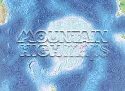
Mountain High Maps Catalog - Antarctica centered on 90° E
Map Specifications for Antarctica centered on 90° E
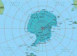
| Map identification: | 614 | Projection system: | Zenithal equidistant |
| Map coverage: | Antarctica centerd on 90° E | North boundary: | 54° 00' S |
| Image size (pixels): | 2,389 x 1,809 pixels | South boundary: | 54° 00' S |
| Image size (inches): | 7.96 x 6.03 inches | East boundary: | 45° 00' S |
| Image size (metric): | 202 x 153 millimeters | West boundary: | 35° 00' S |
| Resolution per pixel: | 4,500 meters | Horizontal scale: | 1:11,700,000 |
| RGB file size: | 12.3 Mb | Vertical scale: | 1:656,666 |
| CMYK file size: | 16.5 Mb | Vertical interval: | 200 meters |
| Grayscale file size: | 4.1 Mb | Vertical exaggeration: | 17.8 times normal |
|
Countries, states and territories: |
Antarctica, Argentine Claim, Australian Territory, British Territory, Chilean Claim, French Territory, Norwegian Dependency, Ross Dependency, |
||
|
| ||

|
| ||
|
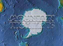
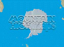
Top left: Elevation low-contrast relief rendering Top right: Vegetation high-contrast relief rendering Middle left: Grayscale land-only relief rendering Middle right: Political low-contrast relief rendering Lower right: Geo-political vector Illustrator EPS maps Inventory of maps and masks within each map portfolio
|
 |

| Antarctic at 90° East Map #614 - Buying Options |
||||||||
|
Antarctic at 90° East Vector only EPS map (bottom left map image) |
Antarctic at 90° East Relief/Vector Map (all maps on this page) |
World Ocean Polar Relief/Vector 14 Map Package |
Mountain High Maps Relief/Vector 78 Map Package | |||||
Any comments or problems with this
site? Please
let us know
- thank you!
© Digital Wisdom, Inc.