|
MapCatalog | Order | Support | SiteIndex | Contact | Home | ||||||||||
|
|
|
|
|
|
|
|||||||||||
| Africa | 108 | |||||||||||||||

Mountain High Maps Catalog - South Africa, Zimbabwe
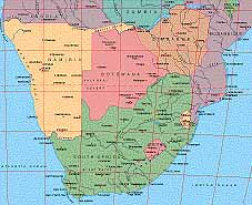
Map Specifications for South Africa, Zimbabwe
| Map identification: | 108 | Projection system: | Lambert's equal-area |
| Map coverage: | South Africa, Zimbabwe | North boundary: | 15° 00' S |
| Image size (pixels): | 2,301 x 1,865 pixels | South boundary: | 36° 00' S |
| Image size (inches): | 7.67 x 6.22 inches | East boundary: | 38° 00' E |
| Image size (metric): | 195 x 158 millimeters | West boundary: | 09° 00' E |
| Resolution per pixel: | 1,200 meters | Horizontal scale: | 1:4,000,000 |
| RGB file size: | 12.3 Mb | Vertical scale: | 1:328,333 |
| CMYK file size: | 16.5 Mb | Vertical interval: | 100 meters |
| Grayscale file size: | 4.1 Mb | Vertical exaggeration: | 12.2 times normal |
|
Countries, states and territories: |
Angola, Botswana, Lesotho, Malawi, Mozambique, Namibia, South Africa, Swaziland, Zambia, Zimbabwe, |
||
|
| ||
|
| ||
|
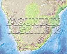
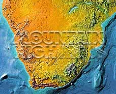
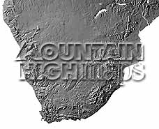
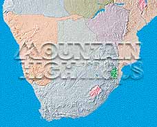
Top left: Elevation low-contrast relief rendering Top right: Vegetation high-contrast relief rendering Middle left: Grayscale land-only relief rendering Middle right: Political low-contrast relief rendering Lower right: Geo-political vector Illustrator EPS maps Inventory of maps and masks within each map portfolio
|
 |

| South Africa Map #108 - Buying Options |
||||||||
|
South Africa Vector only EPS map (bottom left map image) |
South Africa Relief/Vector Map (all maps on this page) |
Africa Continent Relief/Vector 8 Map Package |
Mountain High Maps Relief/Vector 78 Map Package | |||||
Any comments or problems with this
site? Please
let us know - thank you!
© Digital Wisdom, Inc.